PIX4D

PIX4D Leading photogrammetry software

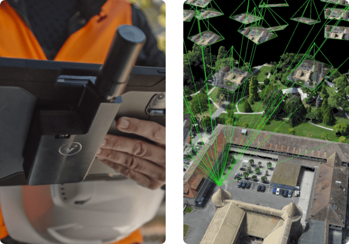
PIX4D products allow reality to be digitized and measured from images taken from drones, airplanes, phones or any other camera.
PIX4D

PIX4D Products

Pix4D is a Swiss company, leader and pioneer in the photogrammetry software market with presence in 41 countries , +270 people and 26 languages.

The products allow reality to be digitized and measured from images taken from drones, airplanes, phones or any other camera.

How does it work?

1.

Capture data/images

2.

Process & create 2D & 3D models

3.

Analyze and digitize results

4.

Share data and information with your team,customers or vendors.
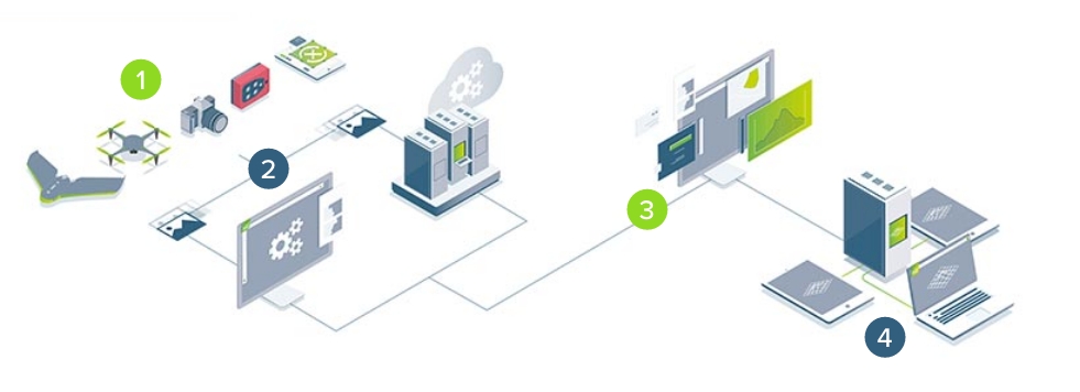
diagrama pix4d

Available PIX4D Products

PIX4DviDoc RTK rover

Anyone can do an accurate 3D scan. The handheld rover together with the mobile software create fast and efficient digital twins
Online platform for terrestrial and drone mapping, progress monitoring, construction monitoring and site documentation. Quick and easy results in 2D and 3D.
Advanced aerial agricultural mapping software for crop analysis and digital agriculture.
The meeting point between photogrammetry and CAD. Easily merge point clouds and images, LiDAR, and third-party point clouds into a single project.
State-of-the-art photogrammetry software for terrestrial, corridor and large-scale mapping.
Rapid 2D mapping for emergency response and public safety.

Are you interested in a PIX4D product?

For project services, whether aerial data capture with drones or terrestrial data (viDoc), contact Go-4D directly (contacto@go-4d.cl)